| Day 1 Gorno Altaisk Teletskoe Lake (168km) | Gorno-Altaisk- Teletskoe Lake (168 km, 3 hrs) rrival to Gorno-Altaysk, meeting at the airport. Drive to the Artyubash village that is located on the Shore of Teletskoe Lake. The steep rocky shores of the lake, covered with larch and birch trees, are impassable. Teletskoye Lake impresses the travelers with the touch of majestic beauty. After lunch we do a boat trip to the station of Altayisky nature reserve and the travelers make a quick excursion to the famous Korbu waterfall. Overnight at wooden hotel. (BLD) |
| Day 2 Katun River (215 km) | We travel up the Katun River to Chemal village to visit the small and spectacularly located nunnery of Patmos monastery, situated on a rocky island in the river and accessible by a hanging bridge. Overnight at wooden hotel. (BLD) |
| Day 3 Chemal Sarlyk Mountain Boochi (350 km) | Drive to the top of Semeinskii pass, where we hike to Sarlyk Mountain, the highest point of the Seminsky Mountain, Central Altai. The name means ” wild yak” in Altaian and on the slopes one can usually find herds of yaks. The mountain is on the border of Shebalinskiy and Ongudai regions of the Altai Republic and from the top there are stunning views of the whole area. After lunch we continue to the village of Boochi where we spend time meeting local Altaian families and discovering local archaeological sites like graves and petroglyphs. We hope also to meet a local shaman if possible. Overnight at wooden hotel. (BLD) |
| Day 4 Pazyryk burialz & Chulishman valley (240 km) | Today we drive about 120 kms to explore most interesting Pazyryk burials in Altai. Mounds is located in the tract Pazyryk on the right bank of the River Bolshoi Ulagan, on the road from Ulagan (16 km) to the village Balyktuyul. The name “Pazyryk” comes from the Tuvan “bazyryk” – “Mound.” Burial mounds are the graves of tribal or tribal chiefs, built mostly in the VI-III centuries. BC A chain of five mounds stretching from north to south along the great valley a few kilometers from Balyktuyul. Then we drive to Chulishman valley. The Valley of Chulyushman River from bird’s-eye view looks like a famous Grand Canyon in Colorado. It is an awesome picture of vertical gigantic walls, cut with the dry beds of waterfalls and the blue line of a river, pressed between the rocks deep underneath. This area is considered to be the remotest and the most untouched in the Altai region. Nature of the area, staggers by its wildness and primordial beauty. Canyons, cascade, the Red Gate Rocks, the Tcheikkel (Dead Lake) cluster around the road from Aktash to Ulagan. Overnight at wooden hotel. (BLD) |
| Day 5 Excursion to Aktru Glacier (167km) | We are away into the Aktru mountains today by our 4WD vehicle and then on foot for an hour or two to the terminal of the Aktru glacier. The vehicle takes us the first 30km; across the steppe and up the 4×4 truck through the fir forest to the Aktru mountaineering base from where we set out on foot to climb the moraine for views and a picnic lunch. The 4×4 truck climbs steeply until it reaches the hanging valley of the upper Aktru River and there are fords to cross the braided river bed. Overnight at wooden hotel. (BLD) |
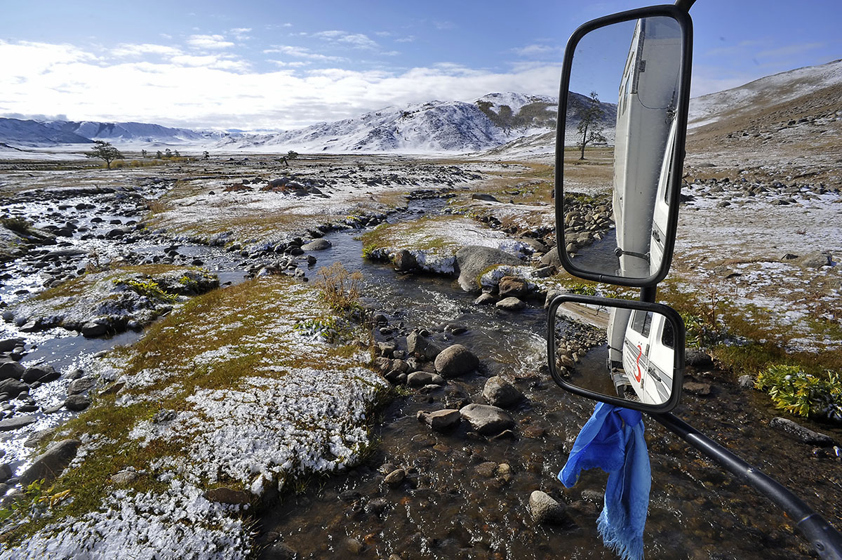
| Day 6-7 To the Eshtykkel Plateau | Today we drive to the beautiful Eshtykel plateau called the “Ukok in miniature”. We stop near Dzhangyskol Lake that is often called Eshtykel Lake. The lake is located on a 1,750 meters altitude plateau in the valley of the Chuya River between North Chuya and Kurai ranges. Small pass separates Eshtykel plateau from Kurai steppe. The Eshtykel plateau called the “Ukok in miniature”. It is better to climb to the top of hill in order to see the plateau in all its glory. The mountains are reflected in the mirrored surface of the lake Eshtykel that creates a feeling of a holiday in the heart of the tourist. Overnight at wooden hotel. (BLD) |
| Day 8 Drive to Khovd Town | Drive to South and reach Hovd town. The Hovd town was a trade center, located on the northern Silk Road with connections to Russia and China. In 1763 the Manchu administration built the fortress Sagijn Cherem (Castle). An area of about 4 ha was fenced with 3m high and 2m wide walls. Now all 18 Mongolian ethic groups live in this province. Have a lunch. After driving to south about 30km from Hovd town, we will see the Khar Us Nuur National Park, where WWF Mongolia is very active. The largest of the lakes is Khar Us Nuur (Black Water Lake).The great lakes basin has the largest reed beds in all of Central Asia, with many bird species as well as Saiga Antelope, the rare Wild Boar (in the reeds!), Snow Leopards, Gazelle, Wolves etc. We will move from the desert steppes to Altai Mountains. The nomads live from livestock herding. We continue our driving and reach small village Darvi. Overnight at local hotel. (BLD) |
| Day 9 To Delger Valley | Drive about 380km by desert open area between two big mountain ranges and reach the Delger valley-big open steppe area. Overnight near village Unen Us (true water), which only water-well around and why many nomads with their animals live here. You have a chance to visit one of nomadic families. Overnight at local hotel. (BLD) |
| Day 10 To Gobi Lakes | Today is a long drive to east, through big open steppe area. We will move from Altai Mountains to steppe areas. We will reach the remote Lake Orog and camp. The nomads live from livestock herding. However, by international standards, it is not densely populated. Near the sands they keep Bactrian Camels. Orog Lake and its immediate surroundings. The lake sits next to Ikh Bogd (Big Holy) Mountain (3957m) at 1200m above sea level. There are also some nearby sand dunes. Tuin River empties into the lake from its journey from Hangai Mountains. The abundance of food attracts plenty of birds. There is a small island with some 60 pairs of Grey Herons nesting on the ground! The world’s longest fault line is visible through the terrain. It came about in 1957 and extends for some 270km westwards from Orog Lake. Overnight at local hotel. (BLD) The Gobi Desert is a vast zone of desert and desert steppe covering almost 30 percent of the Mongolian territory. The area is often imagined as a lifeless desert like in many other parts of the world. In reality, most part of the Gobi Desert is a land of steppes and it is the home for camel breeders rich with wildlife and vegetation. Wild asses, camels, snow leopards, mountain sheep and gazelles flourish here, as do different types of flora.Dinosaur skeletons and their petrified eggs have been preserved here to the present day. Mongolians consider that there are 33 different Gobi, where sandy desert occupies only 3 percent of the total territory. Climate is extreme with 40 degrees Celcius in summer and severe winter. |
| Day 11 To Hongoryn Els | Full day driving to south-east, we come out from mountain area into gobi area with small hills. Reach Khongorin Dunes, the biggest sand dunes in all Asia.The 800-meter high sand dunes in Sevrei soum, South aimag, are called Khongoryn Els. These dunes are 20 km wide and 100 km long. The Khongoryn River flows along the sand dunes and gives birth to oases. Visit the dunes with camel riding. Visit a local camel breeding family and learn about their breeding programs. Overnight at ger camp. (BLD) |
| Day 12 Drive eto UB (650km) | Full day drive to north and reach UB. Overnight in 4* Kempinskii hotel. (BL) |
Categories
Russian Altai & Mongolia Drive